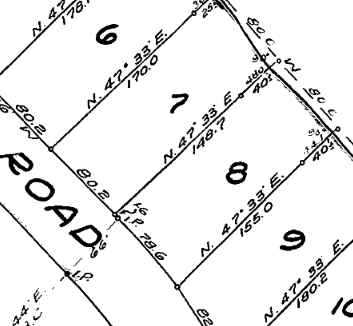
Property
Property Info lookup

Explore and discover geo-content using the following tiles:

Property Info lookup
Explore green spaces
Explore some projects
Infrastructure & Services
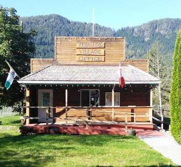
GIS products for member municipalities
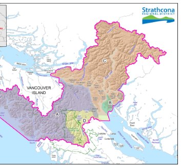
Explore pre-made maps
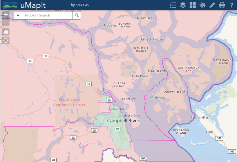
Click on the map at right to launch the application.
So many applications are called i-this or i-that. We called our flagship uMapIt signifying that YOU can steer this vessel - YOU can map it with uMapIt.
Happy Mapping.
if you're totally perplexed there is a link to a help doc within the app
Can't find what you're looking for? Send us an email and we'll see about adding it.
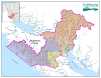 The geography of the Strathcona Regional District is diverse: from forested hills, remote inlets, picturesque villages to vibrant urban landscapes.
The borders extend from the Oyster River in the south to Gold River, Sayward, Tahsis, Zeballos and Kyuquot-Nootka in the north and west, and east to Cortes Island, Quadra Island and the Discovery Islands as well as a portion of the adjacent mainland north of Powell River.
Click on the map shown here for an interactive look at the SRD.