UAV Projects to Date:
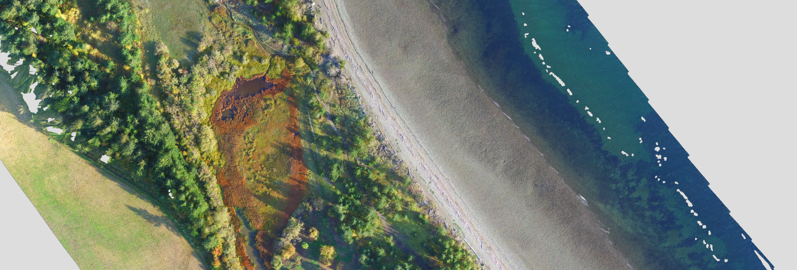
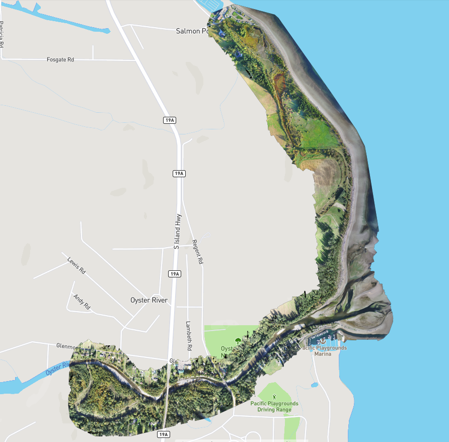
Salmon Point/Oyster River
Baseline Survey - Fall 2016. The entire surveyed area, captured over repeat visits, produced 50GB of images and video (over 5,000 individual files). Salmon Point south to the Oyster River & upstream to Inland Hwy 19
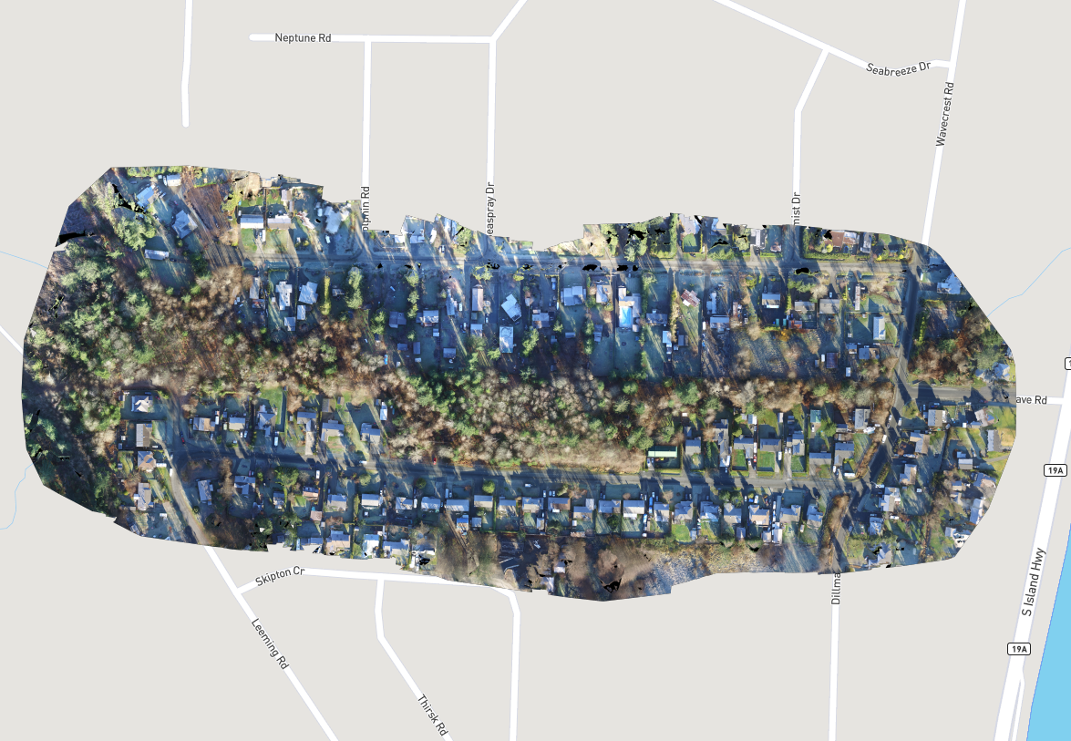
Storie Creek
Greenway running along Storie Creek through residential areas in SRD Area D - Dec 2017
Blenkin Park
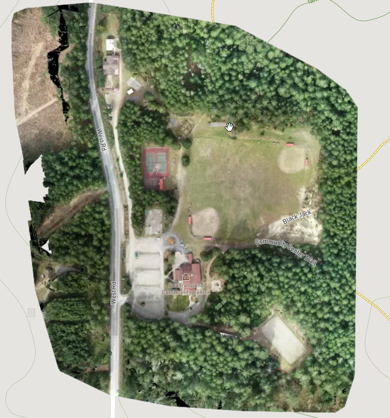
Quadra Island Community Centre & surrounding parks and trails - April 2019
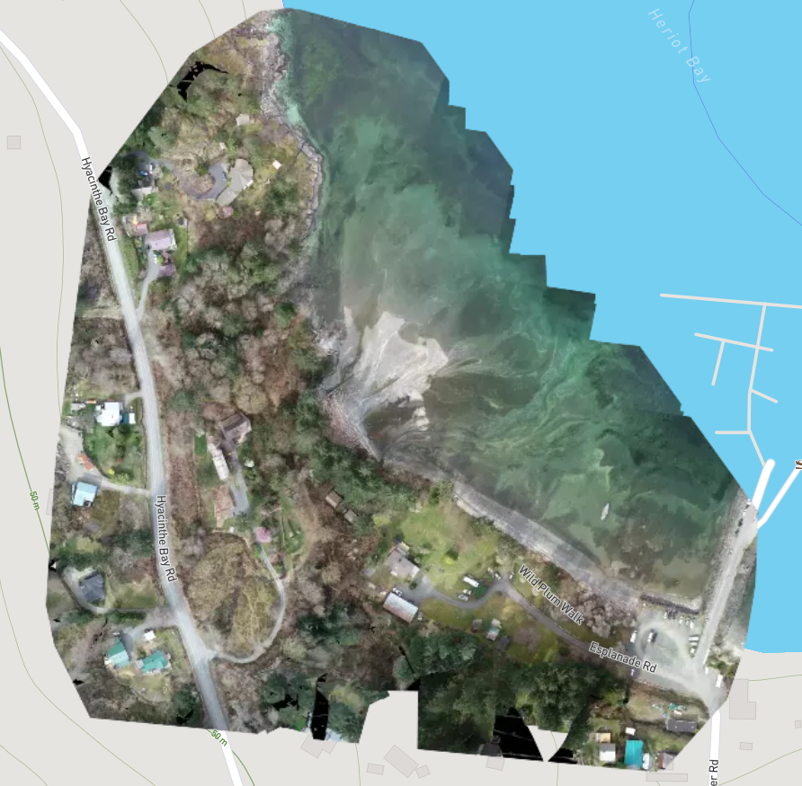
Esplanade Park
Quadra Island Heriot Bay foreshore regional park and nearby wharf - April 2019